Flood Watch Update - April 18 2023
A Flood Watch Update has been issued for Trent-Severn Waterway (i.e., Kawartha Lakes, Otonabee River, Rice Lake and Trent River to Hastings). It impacts Municipalities of Selwyn, Douro-Dummer, Asphodel-Norwood, Otonabee-South Monaghan, Cavan Monaghan, City of Kawartha Lakes, City of Peterborough and Trent Hills, and Otonabee Conservation’s other partners in flood emergency management.
This Flood Watch Update is issued to alert municipalities and residents that floods are possible.
Over the past 48 hours, the Trent-Severn Waterway’s headwaters (Reservoir Lakes/Haliburton Lakes region) received 15-20 millimeters (mm) of rainfall. Overcast skies, single digit air temperatures, and periods of light rain and/or light snow now dominate the region. Starting Friday, April 21st, daytime air temperatures will rise above 20 degrees Celsius and Friday/Saturday/Sunday’s 3-day rainfall total is forecast to equal 35 mm.
Both the Haliburton Lakes/Reservoir Lakes and the Kawartha Lakes are approaching their respective full levels due to sustained snowmelt/rainfall runoff. With 4 weeks remaining before the Trent-Severn Waterway opens for navigation, the current level of fullness matters because rainfall receipts during the next 4-week period normally exceed 90 mm in the Haliburton Lakes/Reservoir Lakes region and 75 mm in the Kawartha Lakes region, meaning there is still a lot of rainfall run-off expected to enter the system. As a result, the system is being managed to accommodate both inflows from the current snowmelt/rainfall run-off and the expected inflows from the rainfall over the next 4 weeks.
The only outflow from the Kawartha Lakes is via the Otonabee River. At present, Otonabee River flows are 80% of average spring flows and exceeding inflows to the Kawartha Lakes, keeping water levels on the Kawartha Lakes from rising and flooding shorelines. However, if this weekend’s rainfall event significantly increases inflows to the Kawartha Lakes, then lake levels will rise and Otonabee River flows/levels will correspondingly increase, possibly leading to flooding of low-lying areas along the shores of the Kawartha Lakes and/or the Otonabee River.
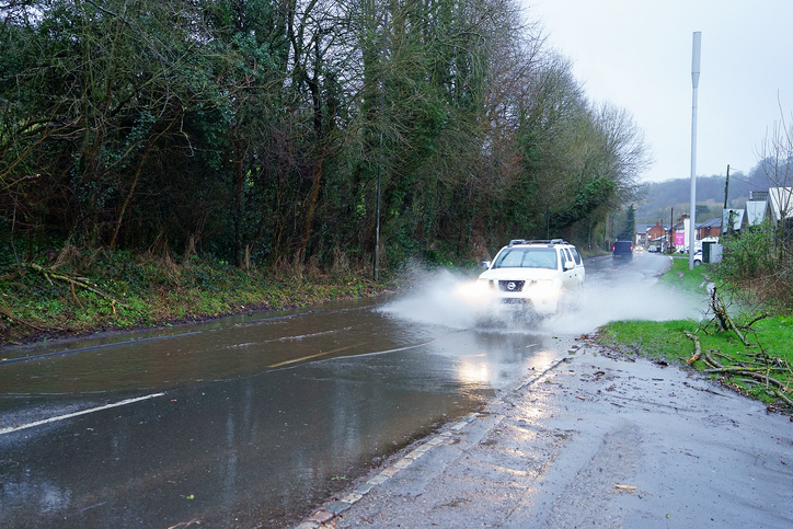
Kawartha Lakes and Otonabee River shoreline residents and businesses, especially those located in flood-prone areas, are strongly encouraged to take action to limit or prevent damages due to potential flooding. All residents and visitors to the Otonabee Region watershed are advised not to drive, cycle, or walk through flooded areas and to obey all road/traffic closures. Adults, parents, and caregivers are advised to keep themselves, children, and pets away from all waterways and conveyance structures (i.e., dams, culverts, and bridges).
Water levels can be monitored on-line at:
- Trent-Severn Waterway’s Water Management InfoNet
- Water Survey of Canada Real-Time Hydrometric Data
- Otonabee Region Conservation Authority website
This Flood Watch Update message will expire Friday, April 21st, 2023, unless updated earlier.
For more information please contact:
Gordon Earle | Flood Forecasting & Warning Duty Officer | 705-745-5791 x 214
250 Milroy Drive, Peterborough, ON K9H 7M9
orcafloodduty@otonabeeconservation.com | Flood Watch Hotline 705-745-5791 x 228
Contact Us